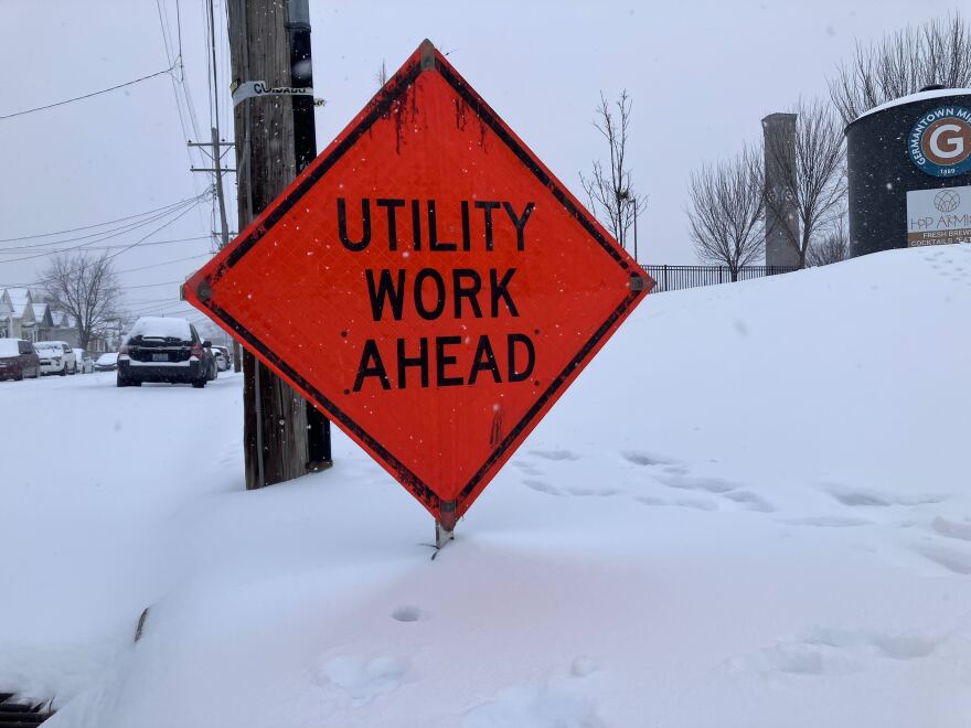
Power outages Sunday afternoon were concentrated largely along Kentucky’s southern border, where ice accumulations were the highest.
Of the roughly 61,000 customers without power statewide, 56,000 of them were among electric cooperatives in south central and southeast Kentucky.
South Kentucky RECC, Tri-County EMC, Jackson Energy Coop and Farmers RECC were the most affected, with 50,000 total customers without electricity.
Pulaski County had the most outages, at 10,000. Allen, Barren, Laurel and Monroe all had more than 5,000 outages. In McCreary, more than half the county’s customers were without power.
Notably, Laurel and Pulaski counties were struck by an EF-4 tornado last May, which caused widespread damage and fatalities.
PJM Interconnection, which operates the grid in eastern and northern Kentucky and a dozen other states and the District of Columbia, increased its forecasted electricity demand this week.
Peak demand is still expected Tuesday as temperatures fall well below freezing. Cold temperatures are predicted to persist through the rest of the week.
“We’re in this for a while, in terms of the cold and the potential lingering impacts of this storm,” said Christian Cassell, lead meteorologist for the National Weather Service in Jackson.
Forecasts of as much as a foot of snow largely fizzled in most of the Commonwealth this weekend. Instead, parts of the state got a mix of snow, sleet and freezing rain.
Cassell said weather models failed to anticipate the strength of a warm air mass moving up from the Gulf Coast. That pushed the heavier snowfall totals north of the Ohio River.
He said it could be the weekend or early next week before temperatures start to rise.


