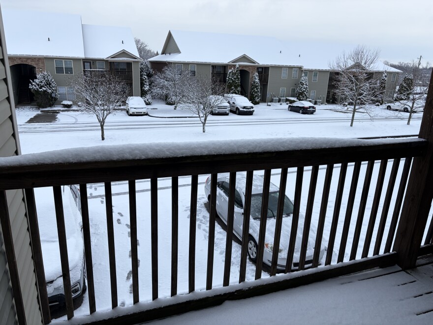
The National Weather Service says this weekend’s winter storm could deliver the most snowfall to central and eastern Kentucky in a decade.
Jane Marie Wix, the warning coordination meteorologist for the National Weather Service in Jackson, said January 2016 was the last time the region saw snowfall totals of up to a foot.
“Right now, I'd say anything around the Hal Rogers Parkway and north is looking anywhere between about eight to 12 inches of snow, potentially closer to that eight range,” she said.
South of the Hal Rogers Parkway, Wix says, precipitation will be a mix of snow and ice.
North of the parkway, and Kentucky 80, totals will be into the eight-to-12-inch range.
“So once you go north of Fleming County, Fleming County has about a 12 inch forecast right now,” she said. “North of Fleming County, it's between nine and 12 inches all the way up to Cincinnati and beyond.”
She says the event will start early Saturday and continue into late Sunday. She urges residents to prepare ahead of the storm and stay off the roads once it arrives.


